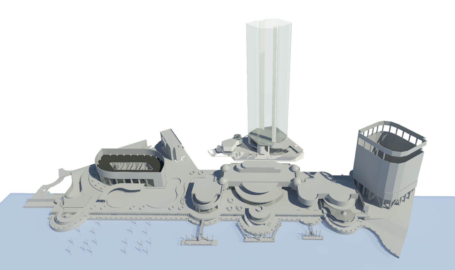
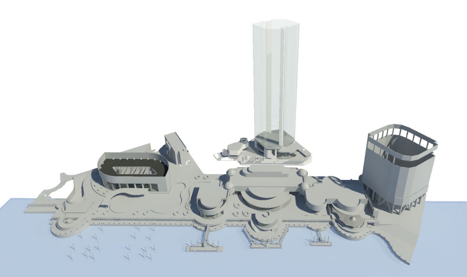
Survey + Scan + Model
taking it from master plan to reality
0
SCANS
0
GB DATA
0+
ELEMENTS
Scanner: Leica Geosystems RTC360
Survey: Identification Survey; Underground Services Investigation
Control: AHD + MGA2020
Project Budget: $2.1 Billion
Deliverables: Point Cloud, Revit model, IFC model, Civil3D Surface
Point Cloud: LGS + Recap Tiles - decimated and unfied

