Dilapidation Survey
Scan + PHOTO + Spherical Video
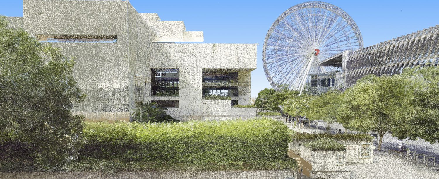
Prior to any demolition or construction for the NPAV Auditorium, we were approached to document the existing site for the purposes of a dilapidation survey. The scope was to cover the existing structures within the Construction Site that are to be retained, areas likely to be affected by proposed construction activity, key services including storm water drain pipes, even roads and infrastructure adjacent the precinct that could be damaged by construction works.
Several capture technologies were considered and deployed.
For above ground external, we elected to use the Leica Geosystems RTC360 laser scanner. This device gives us the typical point cloud, but also spherical imagery from each station. The point cloud was mainly to document road condition - the point cloud would be able to show any deformation that might not otherwise have been obvious (both existing and new - if any). The spherical imagery also picking up footpath condition, road markings, road/path dis-colouration and more.
Internally and within the underground car park - mainly for speed - we deployed a 360-degree spherical video camera. This devices takes several frames a second that a user - using a free viewer - can spin around with. We covered the various floors and car parks at a slow walk, capturing 35GB of hi-res 4K spherical video. This device also capture the audio notes of our surveyor conducting the survey - pointing out things like cracked tiles as they went to assist with the written report preparation.
A drain-cam was used for the underground services inspection.
Finally, still imagery of key damage was captured for the inclusion in the written report.