Where technology meets tradition
Download our Capability Statement
Cadastral and engineering surveys have been our mainstay products for over a century. But that doesn't mean we don't move with the times.
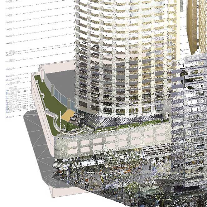
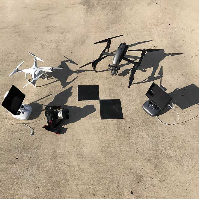
The technology of surveying has progressed rapidly in the last two decades with the development of key technology enablers like laser scanning, software-based photogrammetry (structure-from-motion reality meshes), drones/UAVs/RPAS (whatever you want to call them!), BIM/digital twins and common data environments.
We continue to invest heavily in equipment, software and workflows to take what surveying has learned over several millennia (starting with the Egyptians) and leverage the latest technology and techniques to capture and present data that is fit-for-purpose and within budget - we call it Reality Surveying - reality capture by a surveyor, so you know you can get data on datum, on grid, on budget.
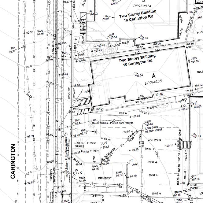
We recognised long ago, a few lines on a sheet of paper or in PDF - what you might have traditionally called a survey - is not going to live up to expectations. And if you are still ordering "surveys" expecting flat, 2D output, we can only recommend you get in touch, get a demo and begin to understand what reality capture and scan-to-model/BIM can do for you at all stages of an asset life cycle - design, construct, and ultimately for facility management.
The video below gives some idea of the outputs you might expect from your "reality surveyors".

